


obrįzky k pųednį¹ce - rastry
Rastry z lokace Spearfish
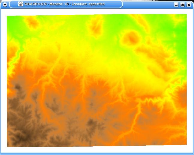
elevation.dem - vż¹kovż model v rastru. Zįkladnķ podoba
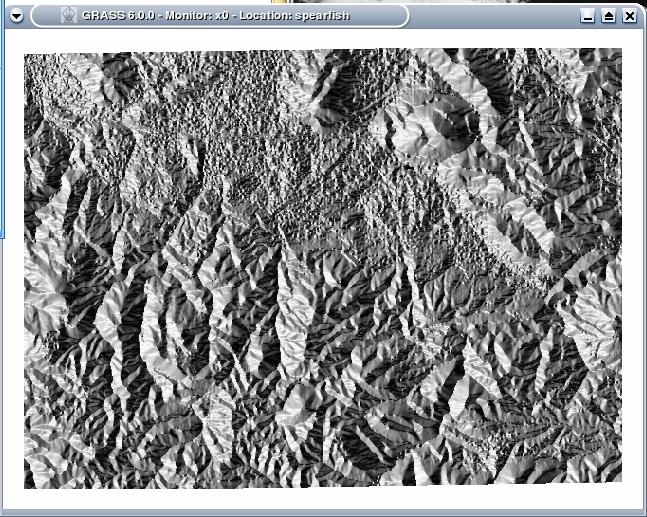
Aspect - sklony svahł
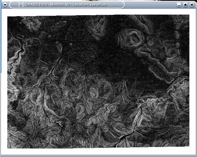
slope
cosi
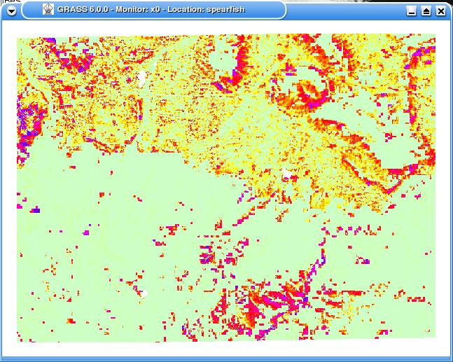
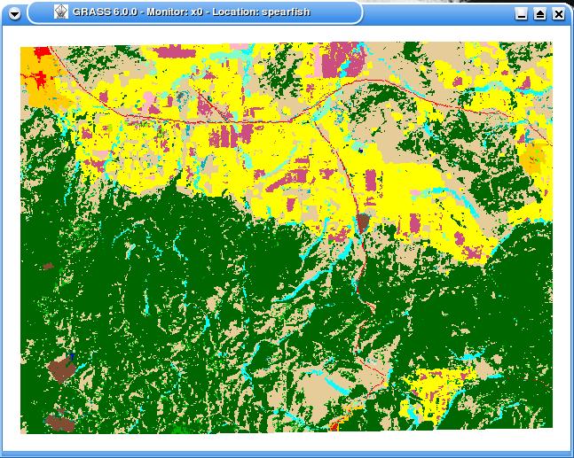
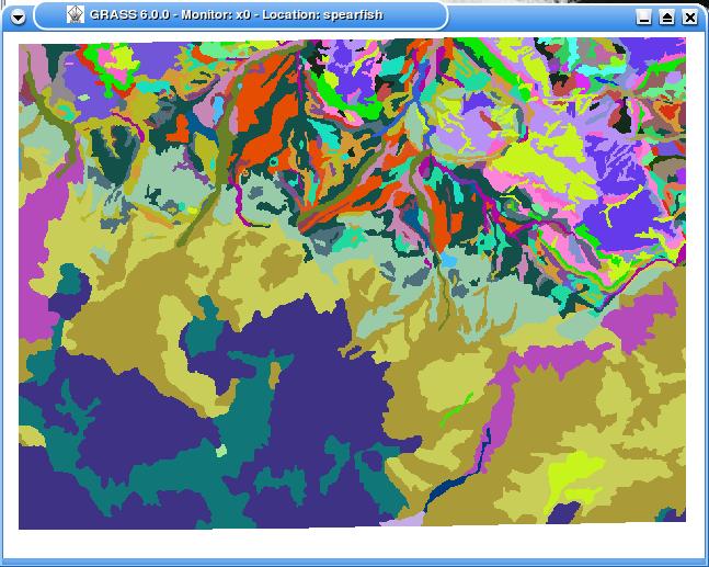
landcover - vyu¾itķ povrchu
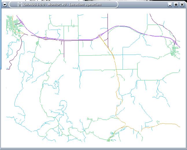
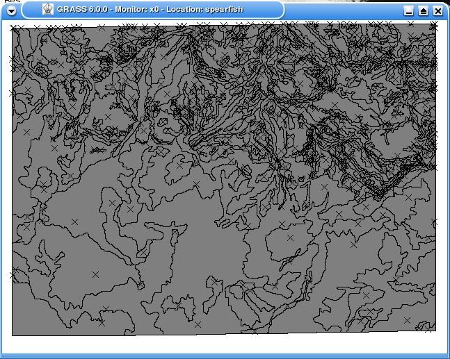
roads - ukįzka rastrového pojetķ typicky vektorové informace. Detaily ...
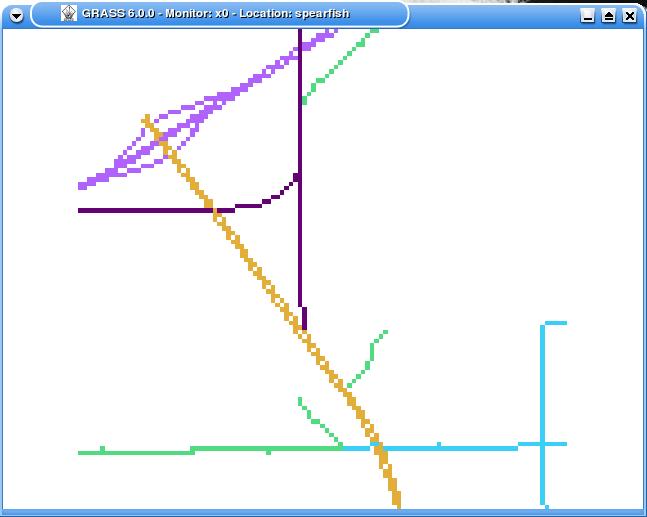
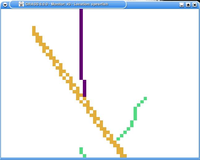
tady u¾ je vidģt chybnį rastrizace linie
soils - płdnķ typy
...pųevedeno do vektoru
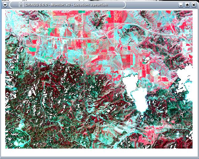
obrįzek (zpracované foto) z dru¾ice Spot. Fotky jsou taky rastry
ųeky a buffer
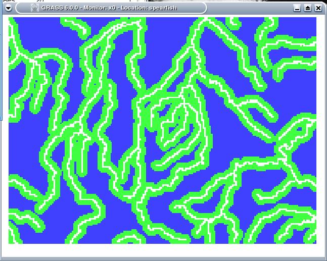
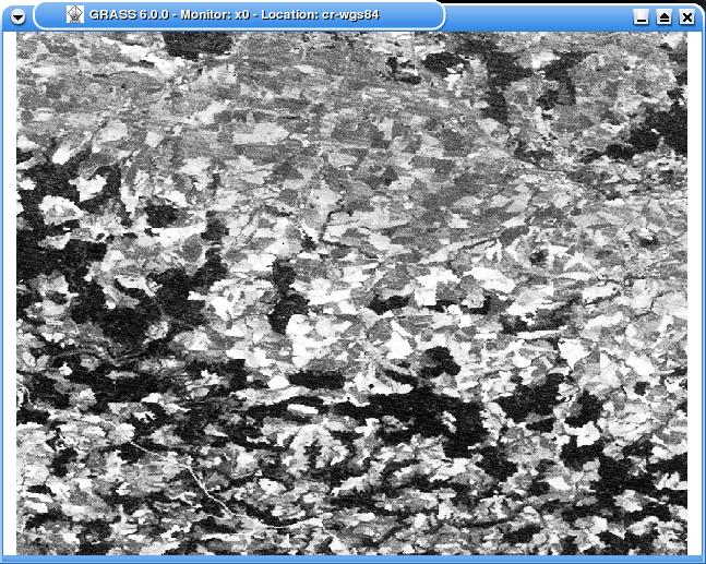
foto z Landsat
Link to this Page
- archiv 08/09 last edited on 15 February 2010 at 10:32 am by pchrubym.fit.vutbr.cz